|
|
|
 |
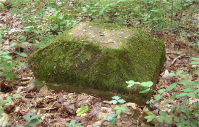 |
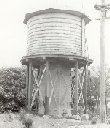
Water Tank SiteN41° 49.335 / W072° 28.765. Ten concrete footings arranged in a grid are all that's left. There would have been 12 originally. The 2 on the south side gone. Big trees grow through through the middle of all this. |
 |
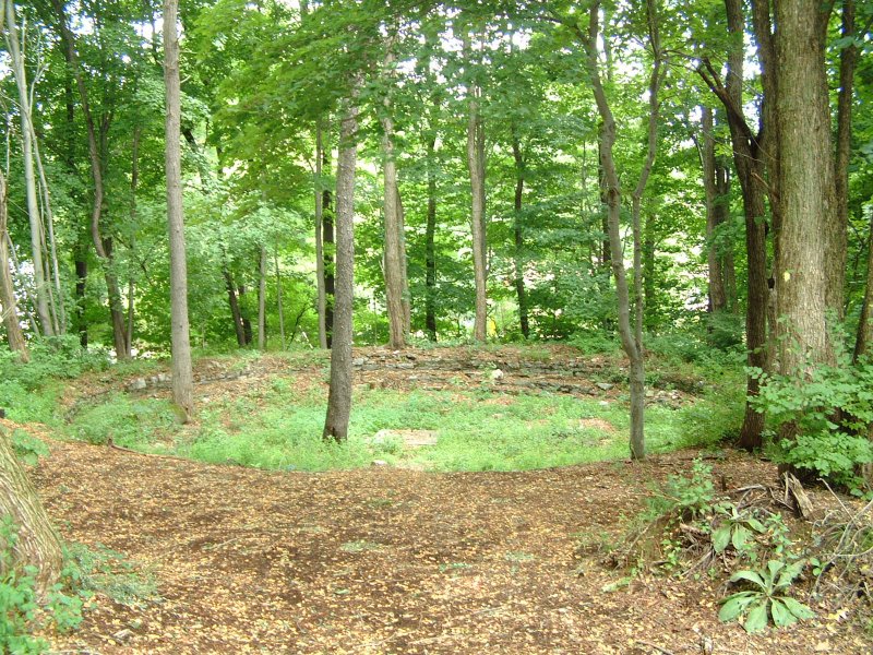 |
Turntable Pit SiteN41° 49.333 / W072° 28.790. You really don't need GPS to find this because the area has been cleared and there are picnic tables nearby. It is just northeast of the visitors shelter. |
 |
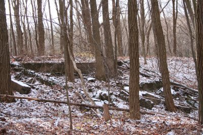 |
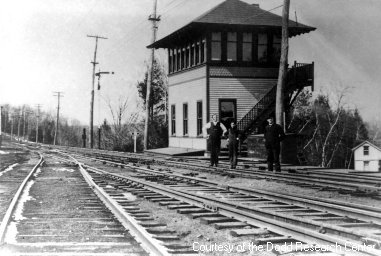
Signal Tower SiteN41° 49.387 / W072° 29.183. Its crumbling foundation on the embankment is what remains. This is about 300 feet west of Washington Street on the north side of the trail. Present day photo taken from the north looking back towards the railbed. |
 |
 |
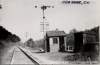
Club House Block Shanty SiteN41° 48.167 / W072° 26.932. Look for the concrete culvert headwall. You can see the top of it just beyond the base of the signal tower in the picture. The clearing in the background adjacent to the tracks was a man made pond that no longer exists. Coordinates for its dam ruins are below. |
|
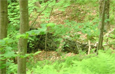 |
Club House / Bolton Lodge Pond Dam SiteN41° 48.353 / W072° 26.880. Be advised that the land adjacent to the right-of-way is posted private property. The west end of the dam ruins can be observed on the east side from the Rail Trail from these coordinates. |